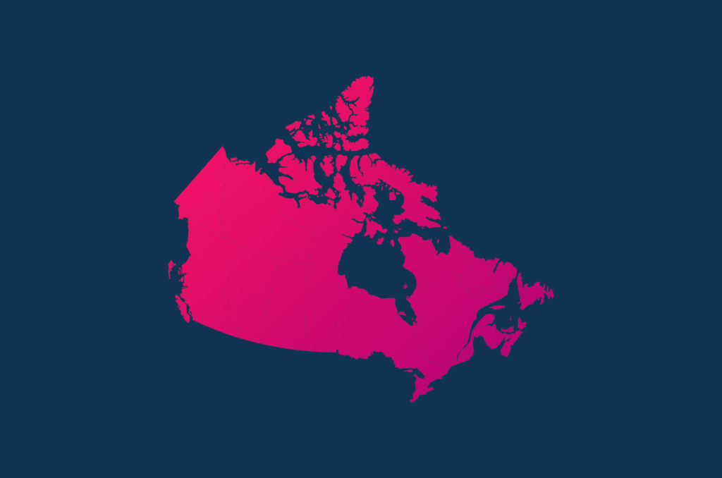
Explore the visual richness of Canada through a vibrant array of full-color map designs, available for download in PNG format. Immerse yourself in the geographic diversity of this North American country, situated north of the continent. Canada borders the majestic Arctic Ocean to the north, the imposing Atlantic Ocean to the east, the United States to the south, and Alaska and the serene Pacific Ocean to the west.
In addition to detailed maps, we offer you the option to explore a blank geopolitical map, perfect for unleashing your creativity by coloring it according to your preferences. This collection includes various representations, highlighting the 10 Provinces and 3 Territories that constitute Canada’s rich and vast geography. Deepen your understanding of the country while enjoying the beauty of its landscapes depicted in these captivating illustrated designs.
Provinces of Canada
| Provinces | Capital |
| Ontario | Toronto |
| Quebec | Ciudad de Quebec |
| Nueva Escocia | Halifax |
| Nuevo Brunswick | Fredericton |
| Manitoba | Winnipeg |
| Territorios del Noroeste | Yellowknife |
| Columbia Británica | Victoria |
| Isla del Príncipe Eduardo | Charlottetown |
| Yukón | Whitehorse |
| Saskatchewan | Regina |
| Alberta | Edmonton |
| Terranova y Labrador | San Juan de Terranova |
| Nunavut | Iqaluit |
Political map of Canada




Outline map of Canada


Marco Antonio (Antonee) is a Systems Analyst with a deep passion for photography and graphic design. His talent for creating striking visual works led him to found Gooova Studio, where, as a writer and founder, he channels his experience and creativity to offer innovative solutions.