Explore Brazil’s detailed cartography through our comprehensive catalog, featuring both a detailed political map and a blank version ready for coloring. Immerse yourself in a rich variety of full-color designs available for your selection, all in high resolution for an exceptional visual experience.
Brazil, situated in South America, stands out for its territorial boundaries with nine countries. To the south, it shares borders with Argentina, Uruguay, and Paraguay, while majestically stretching eastward to the Atlantic Ocean. Moving northward, Brazil borders Venezuela, Colombia, Guyana, Suriname, and French Guiana. To the west, its territory is contiguous with Peru and Bolivia.
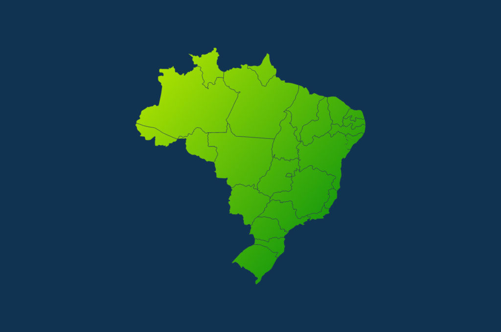
Each image showcases the states that make up the Federative Republic of Brazil, providing a comprehensive and educational insight into the country’s geography. Enjoy our diverse visual representations, ensuring an enriching and captivating experience as you explore the contours and boundaries of this fascinating South American nation.
States of Brazil
| Federal entity | Capital |
| Acre (AC) | Rio Branco |
| Alagoas (AL) | Maceió |
| Amapá (AP) | Macapá |
| Amazonas (AM) | Manaos |
| Bahía (BA) | Salvador de Bahía |
| Ceará (CE) | Fortaleza |
| Espírito Santo (ES) | Vitória |
| Goiás (GO) | Goiânia |
| Maranhão (MA) | São Luís do Maranhão |
| Mato Grosso (MT) | Cuiabá |
| Mato Grosso del Sur (MS) | Campo Grande |
| Minas Gerais (MG) | Belo Horizonte |
| Pará (PA) | Belém do Pará |
| Paraíba (PB) | João Pessoa |
| Paraná (PR) | Curitiba |
| Pernambuco (PE) | Recife |
| Piauí (PI) | Teresina |
| Río de Janeiro (RJ) | Río de Janeiro |
| Río Grande del Norte (RN) | Natal |
| Río Grande del Sur (RS) | Porto Alegre |
| Rondônia (RO) | Porto Velho |
| Roraima (RR) | Boa Vista |
| Santa Catarina (SC) | Florianópolis |
| São Paulo (SP) | São Paulo |
| Sergipe (SE) | Aracaju |
| Tocantins (TO) | Palmas |
| Distrito Federal (DF) | Brasilia |
| República Federal de Brasil | Brasilia |
Political map of Brazil


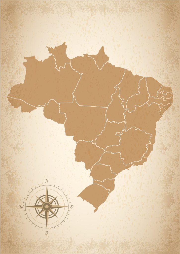
Outline map of Brazil with States